I have a car, it’s a bit old but it does the job. What I don’t have is Satnav. Why? Well it’s not because I’m a technophobe. I’ve just found using Satnav to be too restrictive for me. You’re following a path that has been proscribed for you to follow. And it’s a narrow path. So all you are focusing on is the car in front, and listening to the instructions on when to turn left (or right). I prefer using a map. It allows you to plan how to get to your destination and set milestones along the route. It also provides a wider view of what else is around either en-route or nearby.
As I said, I’m not a technophobe. I like using Google Maps. It allows you to zoom in on a location and see what’s there, but also zoom out and get a feel for the overall area. Also, when giving directions it gives you alternative routes that could be used. It came in very handy on my first visit to Manchester for the inaugural TestBash there. I was staying near Piccadilly station, but needed to get different locations across the city: Arndale centre for shopping (to keep my family happy), the pre-TestBash meet up, TestBash itself, and finally up to Victoria for the OpenSpace.
I could have taken a taxi to all those locations, but where is the fun in that? You don’t learn as much about a place when cocooned in a car.
To give you an example – getting to the pre-TestBash meet up. I put in the location and I was given two routes to get there. I picked the most direct one – I wasn’t feeling particularly adventurous and in this case I would still be seeing something new. I then zoomed in to see which streets I needed to walk along, put my phone in a pocket and then set off. This allowed me to see what was around me along the way: the Alan Turing memorial, China Town and the Gay Village. After a few minutes walking, I paused to get my bearings again and arrived just as the pizza was being delivered!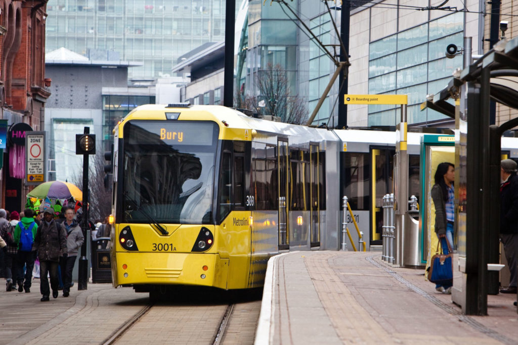
That was easy. The next challenge was getting from the hotel to the Lowry Centre in Media City. Here I needed another navigation aid in the form of the Metrolink network map. For those of you who haven’t been there, Manchester has an extensive tram network that criss-crosses the city. So I studied the map and took note of where the trams went; which stops I needed to use; and which routes I needed to travel along. I was lucky enough that morning that there was a direct tram to Media City shortly after I arrived at Piccadilly. After the conference though, I just missed a tram at Media City. I had already looked to see where the Metrolink stops actually were geographically. I knew there was another stop a short walk away, which was on another route I could get a tram into town. So saving me a 15min wait.
Sometimes though, even maps don’t help and you just have to follow the signs available. Heading to the OpenSpace on the Saturday morning, I arrived at Victoria station a little the worse for wear to find it a bit of a maze. I could see the office building I needed to get to, but there didn’t seem to be a direct way there from the station. I could see another way, it was just a question of finding the right exit. On the second attempt I found it, and a short walk later I was sitting down with a cup of badly needed coffee!
So, I have given you an insight into how I like to find my way around. What does it say about the way I like to test? I think it says quite a lot.
- I’m always looking for the bigger picture, so I can see where the details fit – how important they are and how relevant.
- I don’t like following scripts – let me explore!
- I use as many Oracles as I can – and cross reference them to build a more accurate model.
- I like to try alternative ways of doing things.
- I treat data the same way I did the Metrolink map – finding out the paths through the database, which tables the data ‘travels’ through.
- Integration is the same – it’s not just what is the next stop but where is the stop after that and is that the end of the line?
- Sometimes though, you just have to trust your own judgement and follow the signs that are available to you.
So next time you go for a drive (read testing) – turn the Satnav off and see how you get on and where you end up!